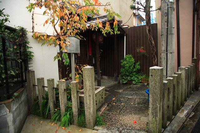
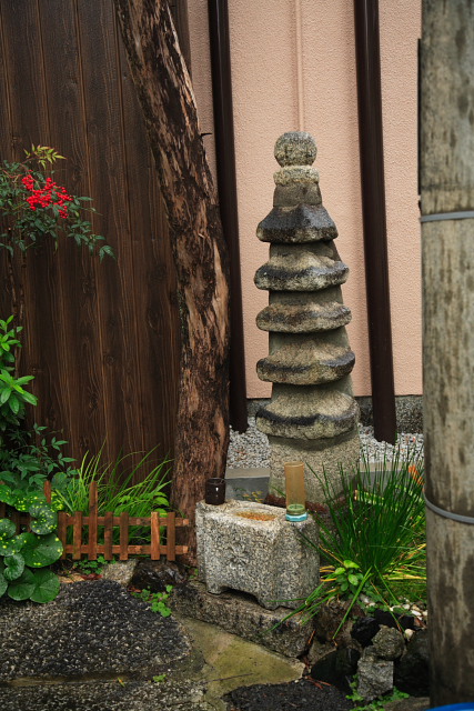
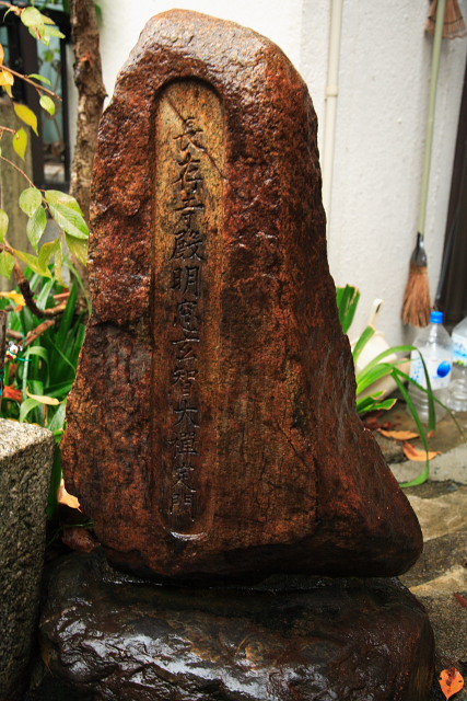
明智塚
「明智塚」 の地図
明智塚 のMarker List
| No. | 名称 | 所在地 | 緯度 | 経度 |
|---|---|---|---|---|
| ▼ 明智塚 | 京都市東山区梅宮町 | 35.0082 | 135.7805 |
「明智塚」 の画像
001 20101122_IMG_C9323.jpg
Date:2010/11/22 09:18:30 Model:Canon EOS 5D
Image size:4368×2912pixels ISO:50 Focal length:32.0 mm F value:4.5 shutter speed:1/60

明智塚
002 20101122_IMG_C9324.jpg
Date:2010/11/22 09:18:41 Model:Canon EOS 5D
Image size:4368×2912pixels ISO:50 Focal length:67.0 mm F value:4.5 shutter speed:1/40

明智塚
003 20101122_IMG_C9572.jpg
Date:2010/11/22 14:55:16 Model:Canon EOS 5D
Image size:4368×2912pixels ISO:400 Focal length:24.0 mm F value:4.0 shutter speed:1/50

明智塚
004 20101122_IMG_C9573.jpg
Date:2010/11/22 14:55:43 Model:Canon EOS 5D
Image size:4368×2912pixels ISO:400 Focal length:50.0 mm F value:4.0 shutter speed:1/30

明智塚
005 20101122_IMG_C9574.jpg
Date:2010/11/22 14:56:40 Model:Canon EOS 5D
Image size:4368×2912pixels ISO:800 Focal length:35.0 mm F value:4.0 shutter speed:1/25

明智塚
カテゴリー
アーカイブ
カテゴリー
タグ
お散歩写真帖 (466)
モニュメント (8)
住宅 (1)
公園 (1)
劇場・美術館・博物館・図書館 (101)
博物館 (2)
史跡 (94)
史蹟巡り (552)
坂 (42)
城・庭園 (1)
城址 (1)
墓碑 (9)
寺院 (86)
寺院・庭園 (69)
庭園 (15)
建物探訪 (1047)
建築・庭園 (1)
建築土木 (19)
御所 (6)
御所離宮・庭園 (4)
掃苔 (98)
旅館 (2)
旅館・庭園 (1)
日日是写真 (1305)
生麦事件 (6)
町並み (53)
町名由来板 (53)
社寺仏閣巡り (173)
神社 (55)
神社・庭園 (8)
祭礼 (1)
美術館・博物館・図書館 (2)
老舗 (7)
自然 (6)
茶道宗家 (2)
鎌倉史跡碑 (13)
陵墓 (24)
食事処 (5)
食物図鑑 (212)
駒札 (59)

コメント